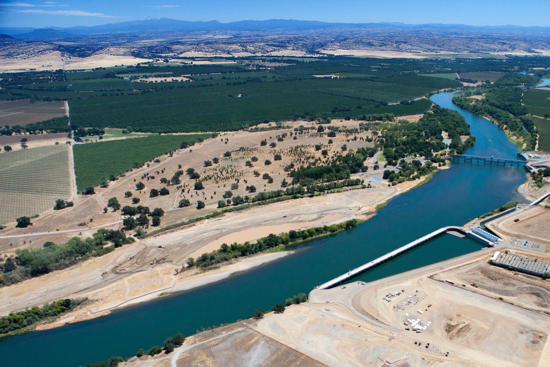
My first engineering position was at one of California’s largest hydraulic engineering design centers as part of a 20,000-person international consulting firm. Here I honed formal methods of civil engineering by co-designing some of California’s largest water works being built at the time. The 2,000 cfs (57 cms) fish-screened pump stations I helped design aid the restoration of Sacramento River fisheries and modernize infrastructure for thousands of farmers. On smaller hydraulic structures, I led the design myself.
The large projects I worked on demanded a highly level of detailing before being put out to bid. I participated in all design phases to help develop these construction documents, from conceptual development to final design. The fish-screened pump station in the image below (image courtesy FlowWest) renders the Red Bluff Diversion Dam obsolete and thereby allows salmon migrating from the Pacific Ocean unimpeded access up to Redding.
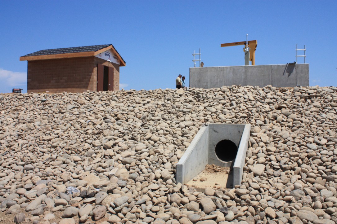
After my first year at CH2M, I was given my own projects to design, the biggest of which was a simple canal structure that is now constructed and allows irrigation water to pass beneath a creek. When the canal was initially dug over a century ago, a canal structure was added to block the creek where they intersect. The creek was returned to a free-flowing state as part of this project and water loss from the canal was significantly reduced.
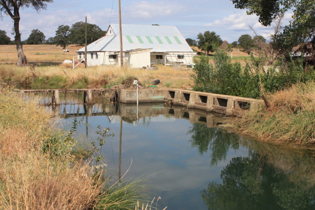
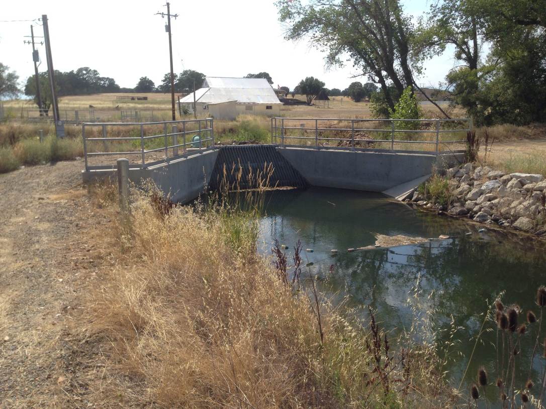
The two images below show the century-old concrete canal structure before it was demolished (upper image) and the visible part of its replacement – the siphon inlet in the lower image.
At CH2M I sought out and enjoyed design tasks that involved a three dimensional challenge and critical thinking. I created surface models using Microstation InRoads, both for site plans and for more abstract tasks. For one client, I processed several sets of ground survey and LiDAR data to map out how an enormous landfill had grown over the course of several decades. At the end of this surprisingly interesting task, I delivered to the client several color-coded isochore maps that showed how much of the client’s permitted landfill space they had used, where they could place future waste, and how much time they had before their landfill was full.
I also worked on the City of Redding’s wastewater treatment plant. The structures in the image below neutralizes chlorine concentration in the final effluent, just before releasing the treated water to the Sacramento River.